by
John Baranick
,
DTN Meteorologist
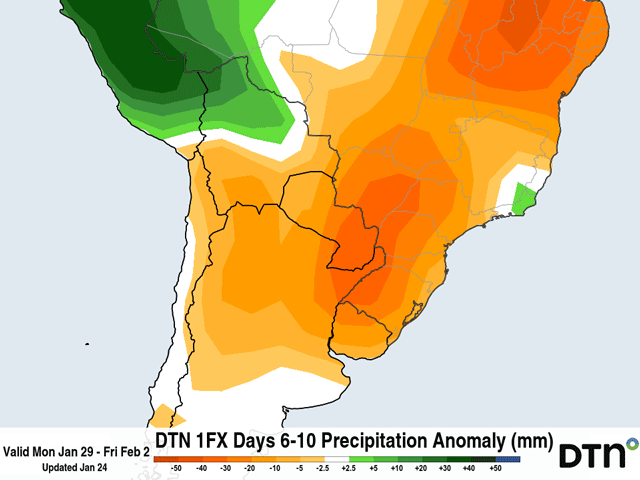
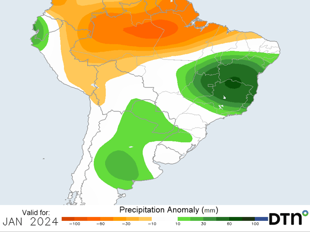
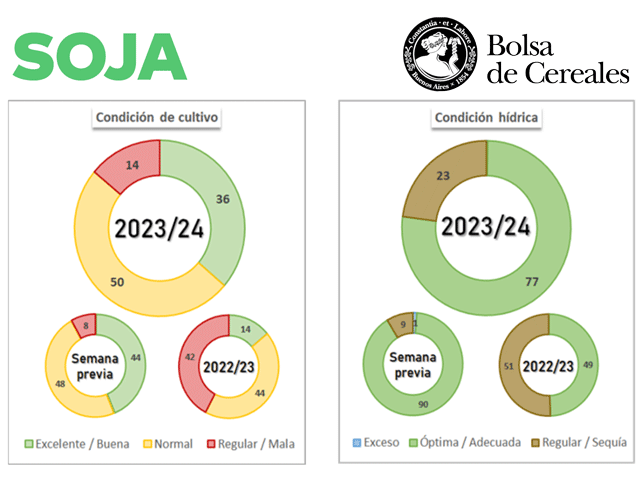
Reports from the Buenos Aires Grain Exchange point to rapidly worsening conditions in Argentina due to heat and dryness.