by
John Baranick
,
DTN Meteorologist
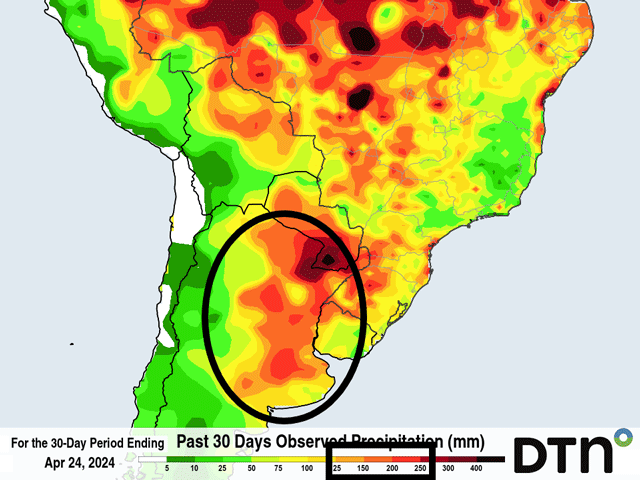
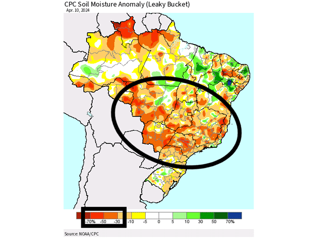
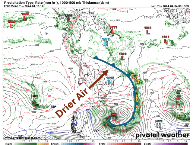
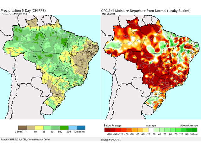
The long-awaited start to the wet season for central Brazil is likely to start up late next week or weekend. But that occurs with spotty rains that increase through October. Very dry areas in the region will need to see significant rainfall before producers start planting.