by
Bryce Anderson
,
Ag Meteorologist Emeritus
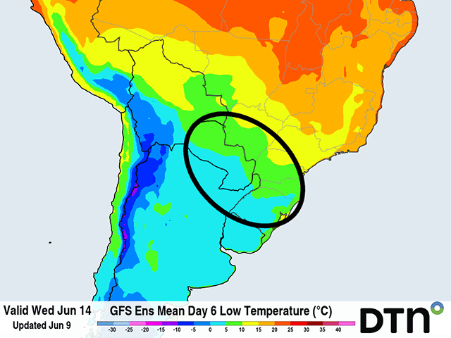
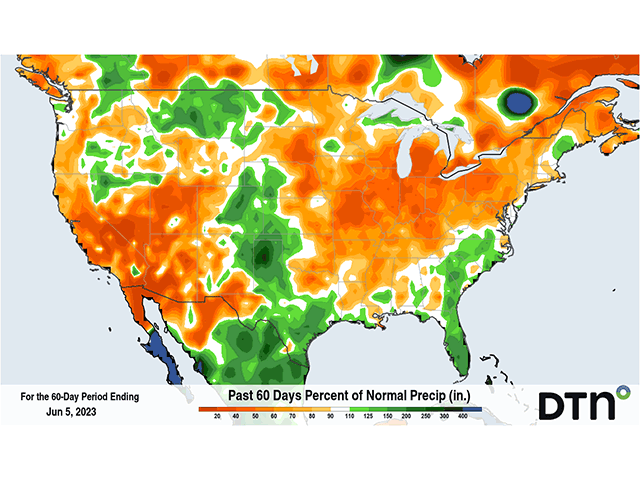
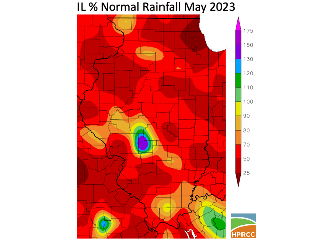
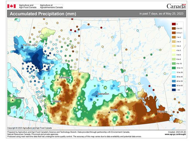
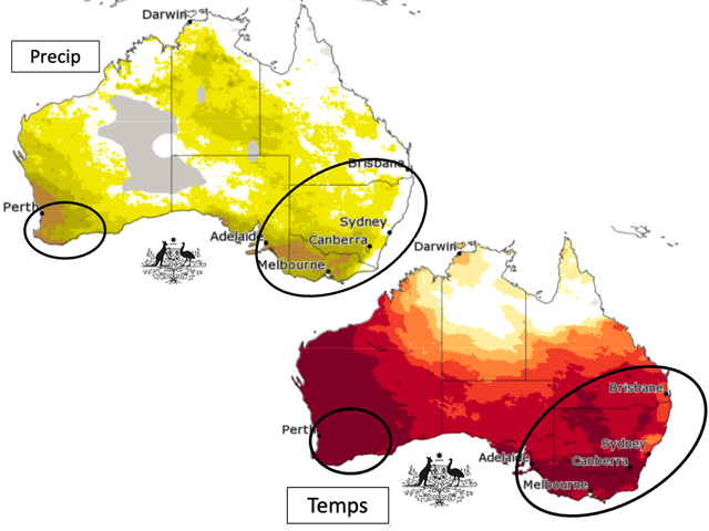
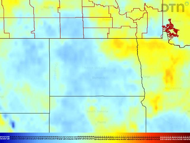
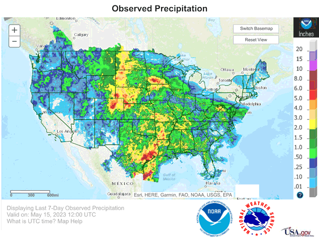
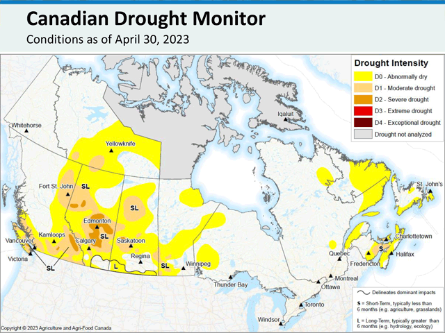
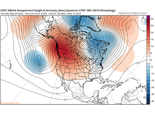
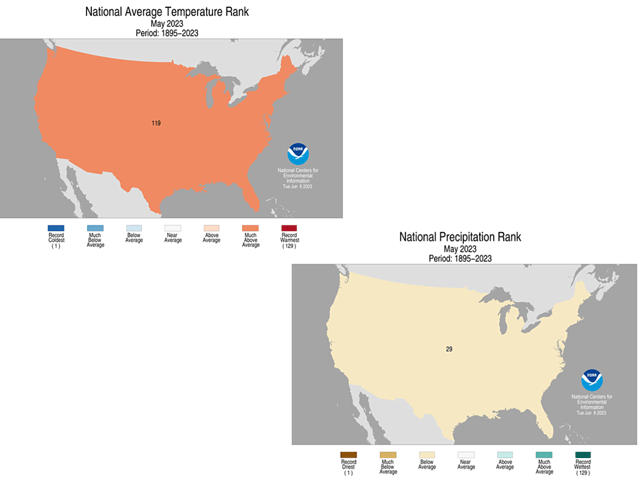
The top corn production states were warmer and drier in May 2023 than in previous record-yield years.