

Ag Weather Forum
Southern Plains Precipitation Review
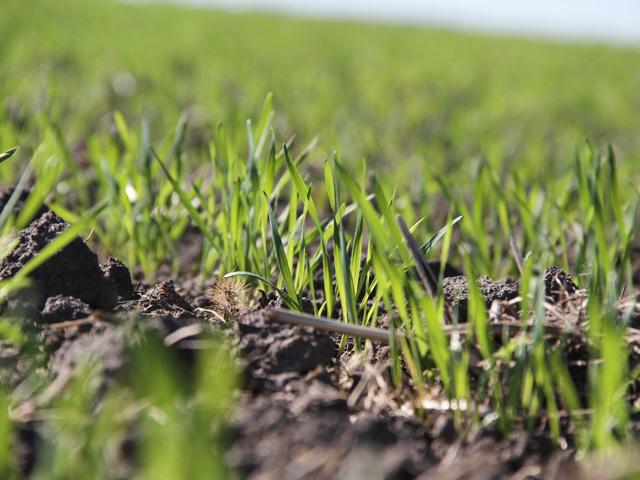
The phrase "better late than never" applies to rainfall during the period from Oct. 10 through Oct. 13 in portions of the Southern Plains. Hard red winter wheat which had either been laying in dry soils or had just been planted into dust received a dose of beneficial moisture. As is typical of the region, amounts were variable. Following is a summary of the Oct. 10-13 totals (preliminary, from National Weather Service CF6 reports).
Stations posted are in larger scale winter wheat production areas. Totals are in inches of rainfall.
COLORADO: Burlington 0.33; Springfield 0.03; La Junta trace.
KANSAS: Goodland 0.24; Dodge City 2.28; Garden City 0.39; Medicine Lodge 0.76; Salina 0.12; Wichita 1.95.
P[L1] D[0x0] M[300x250] OOP[F] ADUNIT[] T[]
OKLAHOMA: Guymon 0.77; Frederick 0.97; Gage 1.24; Oklahoma City 2.54.
TEXAS: Dalhart 0.27; Amarillo 0.13; Borger 0.40; Lubbock 0.04; Childress 0.23; Wichita Falls 1.05.
Larger amounts in general were posted in southern Kansas and Oklahoma. Writing in the Oct. 11 issue of the Oklahoma State University Cow-Calf Newsletter, Oklahoma State Extension Beef Nutrition Specialist Paul Beck called attention to the importance of this rain event for winter wheat pasture, since the state of Oklahoma just came through its driest September on record.
"For producers relying on winter pasture to grow purchased or retained calves this may be what was needed to give us the prospect of at least some wheat grazing, although probably a month later than normal and not as much fall forage production as what we normally would like," Beck noted.
"We are already 40 to 50 days delayed in planting our grazeout wheat acres and 30 days delayed in planting our dual-purpose wheat, which will limit our forage production potential this fall and winter."
U.S. Drought Monitor comments as of Oct. 12 reflected the variable benefits. "Ahead of a long-wave trough across the western U.S., an area of low pressure developed over the Southern Plains, bringing with it much-needed precipitation to areas affected by the rapid onset of drought conditions in recent weeks. This has helped to improve conditions, mainly across parts of Oklahoma, where many locations received 2-3 inches of rainfall (greater than 1-inch positive weekly anomalies)," noted NOAA meteorologist Adam Hartman.
Looking to the end of October, weather forecast models suggest a drier period for the time frame ending Oct. 21; maximum precipitation forecast is less than one-half inch, with many of the highest production winter wheat areas in line for less than one-tenth inch moisture. Models indicate the chance for some follow-up precipitation during the last week of October. This will be important moisture for the new winter wheat crop ahead of dormancy. With La Nina strengthening in the Pacific Ocean, any moisture is key for wheat crop health prior to winter.
Bryce Anderson can be reached at Bryce.anderson@dtn.com
Follow him on Twitter @BAndersonDTN
(c) Copyright 2021 DTN, LLC. All rights reserved.

Comments
To comment, please Log In or Join our Community .