

Market Matters Blog
Mississippi River Levels Falling Due to Heat and Little to No Rain
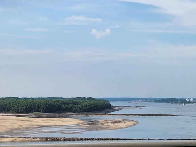
On May 20, the Mississippi River in St. Paul was cresting for the second time at major flood stage. On June 19, the river is at 3.36 feet above zero gauge and a similar scene is playing out in much of the Upper Mississippi River (UMR) above St. Louis. No rain and extreme heat recently caused the drop in the river. Remember, the Upper Mississippi River doesn't usually fall below zero gauge like the Lower Mississippi River (LMR) because of the lock and dam system.
Severe low water conditions like we saw last year only affected the Lower Mississippi and the tributaries that feed it. "North of St. Louis Missouri, a total of 29 lock and dam systems were constructed, forming a stairway of water from Minnesota to Illinois. From the first lock and dam at Minneapolis-St. Paul, Minnesota to the last one at Granite City, Illinois, there is a drop in elevation of 420 feet," noted the United States Army Corps of Engineers (USACE). "The locks are necessary at each of the dams to allow boats to navigate from one pool (the water backed up behind each dam) to the next. These dams were constructed to only aid navigation; they were not designed for flood control." The Corps maintains a 9-foot navigation channel as an important component to the inland navigation system.
On the LMR, there is no need for locks and dams because, with the addition of the Missouri, Illinois, Arkansas, Ohio, and other tributaries, it is naturally deep enough and wide enough for navigation according to the USACE. The Ohio River feeds 70% of the water to the LMR and at Cairo, Illinois, the confluence of the Ohio and Mississippi River, the river level is at 11.21 feet on June 19 and while rainfall will push it to 12.3 feet by June 20, the river is forecast to fall again and come close to low water stage of 9 feet by the end of the month.
While the Lower Mississippi River is nowhere near the very serious low water conditions last fall, the barge industry is keeping close watch on levels. As of June 19, the water level at St. Louis is 1.58 feet above zero gauge and forecast to fall below that by the end of June. The water level at Memphis is at 4.62 feet below zero gauge and forecast to stay there through the end of June and at New Orleans, is at 3.19 feet and forecast to fall more by June 30.
American Commercial Barge Line (ACBL) noted on its website on June 16 that "Currently there is a 6% reduction in loading drafts on the locking rivers (Upper Miss and Illinois River) and a 15% reduction St. Louis southbound (SBD)to the Gulf."
P[L1] D[0x0] M[300x250] OOP[F] ADUNIT[] T[]
ACBL also implemented a further 10-feet draft restriction for loadings in the Gulf to Cairo. "Additionally, we are implementing an 11-feet draft reduction from Cairo to the Gulf. Due to the projected forecast, ACBL has reduced SBD tow size by a width on various horsepower classes. Note that this restriction reflects a 12-20% reduction in tow size. Expect to see delay to transit of 12-to-24 hours."
There were multiple reported groundings recently, between mile marker 638 to 648, causing a temporary closure. ACBL noted that "The channel has reopened, and traffic has resumed, but expect slower transits through the area as vessels must remain cautious and make wider turns."
At least for now, there isn't much moving downriver as far as corn and soybeans given our export program is currently flat. But there are industrial products, fertilizer and other commodities that rely on the river to get to end users. If water levels continue to fall, barge freight will likely cost more, and transit could slow due to various safety protocols being implemented.
To be clear, the current river conditions are in no way close to the disaster we saw last fall. But as you can see, it doesn't take long for levels to fall without steady rain and the extreme heat that causes evaporation.
Mississippi River at Memphis hydrograph: https://water.weather.gov/…
Mississippi River at St. Louis hydrograph: https://water.weather.gov/…
Ohio River at Cairo hydrograph: https://water.weather.gov/…
DTN interactive weather map: https://www.dtnpf.com/…
Also, see recent weather blogs from DTN Ag Meteorologist John Baranick: https://www.dtnpf.com/….
Mary Kennedy can be reached at Mary.Kennedy@dtn.com
Follow her on Twitter @MaryCKenn
(c) Copyright 2023 DTN, LLC. All rights reserved.

Comments
To comment, please Log In or Join our Community .