

Ag Weather Forum
Heat and Periods of Showers Continue for the Corn Belt
Showers were plentiful across the majority of the main growing regions last week. Due to an upper-level system with a strong cold front and the remnants of Tropical Storm Cristobal, much of the Central and Northern Plains, Delta and western Midwest saw good rainfall over 0.50 inch and many in these areas saw 1-3 inches of rainfall.
Where the two systems started to merge, showers were heavier in a swath over Nebraska into South Dakota and from Iowa up through Wisconsin where 3-5 inches of rainfall were recorded. As the remnants to Cristobal moved into central Canada, showers became more scattered for the eastern Midwest, though some severe weather occurred along with locally heavy rainfall.
Spots that were missed last week included central North Dakota back through southeast Montana, where dryness has led to short-term drought, and from southeast Kansas back through West Texas. Here the dryness was welcome, as the wheat harvest is underway. However, drought in West Texas and Oklahoma is worrisome for emerging and developing cotton; they could use a hefty amount of rainfall. Less than 40% of normal precipitation has fallen in this region during the last month.
The rainfall and overall warmer weather last week should have increased crop ratings by a couple of points. But it came as a surprise when numbers came out June 15 and saw a decline of 4 points overall in the good-to-excellent corn ratings.
P[L1] D[0x0] M[300x250] OOP[F] ADUNIT[] T[]
Much of the decrease was due to Colorado (26-percentage-point decrease), Nebraska (12 percentage points down), Kansas (6-point decrease), and North Dakota (5-point decrease), despite seeing good showers in all but North Dakota.
Instead, it may have been due to recent windy conditions that have followed the rain for the last week, robbing topsoil moisture and weakening stands. The other crop ratings stayed relatively stable compared to last week.
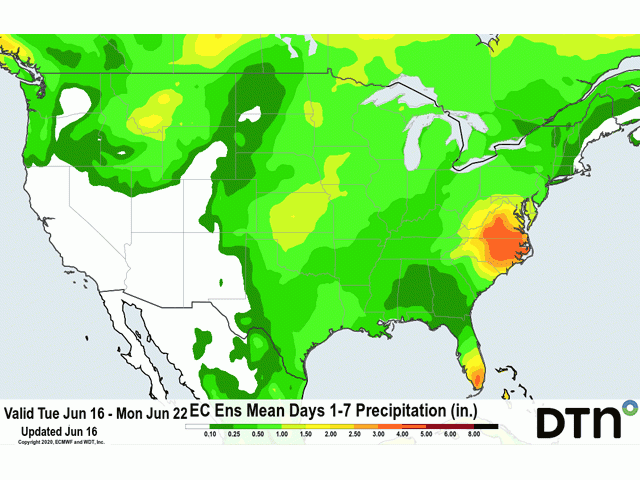
The week ahead will see continued favorable growing conditions for most areas. Since Cristobal moved through early last week, showers have been absent from the Delta and look to continue that trend through this weekend before starting back up next week. Some stress to developing crops may show up, but soil moisture is adequate for the moment.
Otherwise, a slow-moving storm system in the Pacific Northwest will slowly move across the northern tier of the country late this week and through the weekend, parking itself in the east early next week.
The slow moving nature of the storm should produce multiple periods of showers for the Central and Northern Plains and Midwest, keeping already favorable soil moisture in place.
In a few sections of the Western Corn Belt where it has been drier, showers look to be maximized as well. The showers will not be welcome for Kansas, however, as the winter wheat harvest continues to ramp up. Some delays to operations will be felt in this region.
The Pacific Ocean continues to straddle the threshold of La Nina and causes forecasters to keep their eyes open for the typically hot and dry summer conditions that come along with it. So far, so good as the atmosphere has not caught up to the tropical cooling taking place. While the ridge and heat have been there, so, too, have the showers. At least through the end of June, crops seem to be in pretty good shape overall.
John Baranick can be reached at john.baranick@dtn.com
© (c) Copyright 2020 DTN, LLC. All rights reserved.

Comments
To comment, please Log In or Join our Community .