

Ag Weather Forum
Much Less Flooding vs. 2019
What a difference a year makes. Reports and statistics point to active fieldwork and planting to get the 2020 crop season underway. The corn planting rate is indicated to be at the fastest clip since four years ago in 2016. Seed has been put into the ground in rapid-fire fashion over all but the northern extremity of crop country.
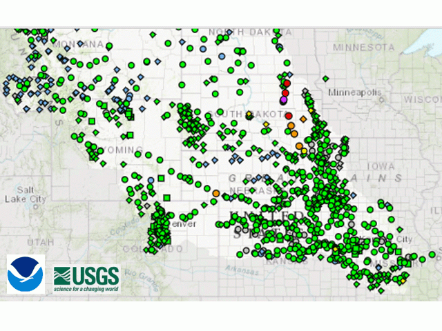
There is also a facet of the weather scene that has not been a headline item this season, mainly because of its absence -- and that is significant flooding. The water load in the river systems of the north-central U.S. is mostly at normal levels going into the last of the spring season. In fact, as of Monday, May 4, the only tributary of the Missouri River located in the upper portion of the Missouri Basin that was in flood stage was the James River in eastern South Dakota.
P[L1] D[0x0] M[300x250] OOP[F] ADUNIT[] T[]
It will be interesting to see the updated forecast runoff for the Upper Missouri Basin either later this week (Friday, May 8) or early next week (week of Sunday, May 10). The April 8 forecast highlighted a reduction in the runoff prospects, even though soil moisture is still very high in the north-central U.S.
"Based on current soil moisture conditions, current plains and mountain snowpack, and long-term temperature and precipitation outlooks, the 2020 calendar year upper basin runoff forecast is now 35.5 million acre feet (MAF) above Sioux City, Iowa," the forecast noted. "Although this forecast is a reduction of 1.4 MAF from the March 1 forecast, it is still in the top 10% of the 122 years of runoff record. Average annual runoff for the upper basin is 25.8 MAF. The runoff forecast is updated on a monthly basis, and more often if basin conditions warrant."
April was certainly drier than a year ago in the Upper Missouri Basin. For example: In South Dakota, Sioux Falls had 1.15 inches precipitation, which was 1.86 inches below average and well under the 2019 total of 4.99 inches. Pierre, South Dakota, totaled 0.78 inch precipitation, 1.03 inches below average and much less than the 3.27 inches recorded in 2019. And Mitchell, South Dakota, had 0.78 inch in April, 1.40 inches below average and well below the 3.16 inches recorded in April last year. In Iowa, Sioux City measured 0.66 inch for the month, 2.29 inches below average and notably less than the 2.57 inches recorded in April 2019.
Precipitation forecasts for the next seven days feature mostly light to moderate amounts in the range of one-quarter to 1 inch. Some heavier totals of 1.5 inches may occur in the eastern Dakotas.
Bryce Anderson
Twitter: @BAndersonDTN
© (c) Copyright 2020 DTN, LLC. All rights reserved.

Comments
To comment, please Log In or Join our Community .