
Ag Weather Forum
Rain to Target High-Yield Corn Areas
To no one's surprise, crop conditions declined during the first full week of July as a result of very warm to hot conditions and very little rain. The slip in soybean good condition to excellent condition combined values of three percentage points was a bit more than the trade was expecting. In a similar development, the combined total of good condition and excellent condition in spring wheat areas showed a decline of two percentage points despite periods of rain that moved through the Northern Plains.
There are definitely problem areas. The southwestern Plains remain smothered by drought and heat. At this writing, the southeastern Plains, almost all of Texas, and the Delta have either heat advisories or heat emergency notices. The cotton crop in Texas is 41% poor to very poor. Pasture and range conditions have declined as well.
P[L1] D[0x0] M[300x250] OOP[F] ADUNIT[] T[]
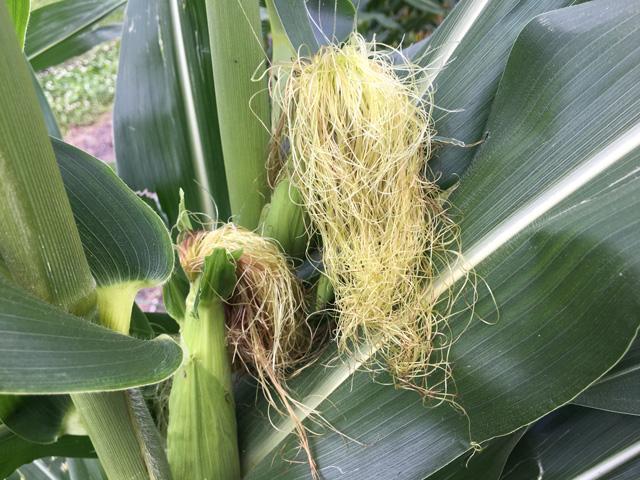
Still, the total crop weather scene for corn and soybeans remains favorable and on pace for large crop size. Iowa and Minnesota row crop ratings both top the 80% total for good to excellent. Illinois and Indiana area are around the 60% mark. Nebraska corn and soybeans rate in the low 70% bracket on the good to excellent total. With the big production states sporting these kinds of ratings, it's hard to think of yield projections coming in under trendline on aggregate.
Conditions over the next week do bring some heat to a wide area for at least a period of time. Forecast models bring periods of showers to the Northern Plains and northern Midwest this week into next week. Meanwhile, showers and storms on either a widely scattered or isolated basis are suggested for parts of the Southern Plains and the Southeast. Upper atmosphere high pressure ridging will bring the heat; hot weather is indicated over the south-central U.S., especially southern parts of the Plains and Midwest this week and next week.
Looking to the six-to-10-day period ending July 24, the hot upper ridge will build across the U.S. with near zonal flow or weak and broad troughing near and north of the Canadian border. We can expect above-normal temperatures under the ridge.
During this outlook period, temperatures Sunday will be above normal across most of the country, except near to slightly below normal in the Northern Plains. Above-normal temperatures will continue, especially across the Central and Southern Plains, Southeast, and southern and eastern Midwest through next week, but occasional intrusions of near- to slightly-below-normal temperatures may occur in the Northern Plains and northwestern Midwest next week. Periods of scattered showers will track across the Northern Plains and northern Midwest next weekend through next week. Meanwhile, isolated showers may dot the Central and Southern Plains, Southeast, Delta and parts of the eastern Midwest at times next weekend through next week, though coverage may decrease.
Bryce Anderson can be reached at bryce.anderson@dtn.com
Follow him on Twitter @BAndersonDTN
© (c) Copyright 2020 DTN, LLC. All rights reserved.

Comments
To comment, please Log In or Join our Community .