

by
John Baranick
,
DTN Meteorologist
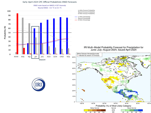
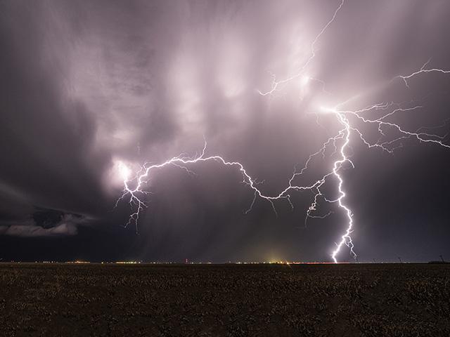
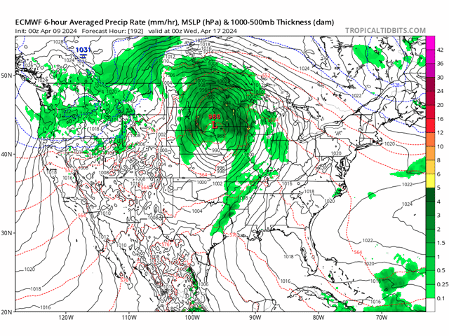
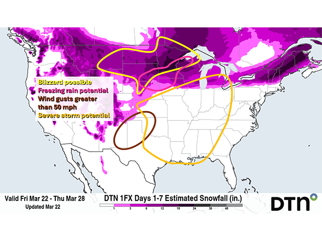
A strong cold front will move through the Plains on Monday and bring a significant risk of severe weather, including long-track tornadoes, massive hail and a line of damaging winds.