

Market Matters Blog
Some Areas Along the Mississippi River Need a Tall Drink of Water

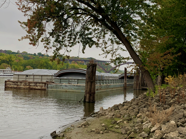
As fall harvest ramps up, the Mississippi River is facing low levels and in the Lower Mississippi River (LMR), barges face draft restrictions and tow size restrictions. The Lock and Dam system on the Mississippi River keeps a 9-foot deep channel with barge drafts at 9 feet, but once barges head south from St. Louis, drafts can increase to 12 feet.
In their daily barge freight report on Oct. 1, Ceres Barge Line noted that, "We did cut drafts to 10 feet, 6 inches, which takes another 100 tons per barge away from the 13-feet and 14-feet barges. That means the shipper will need 18 barges instead of 17 barges to cover the same amount of grain purchased from St Louis and south."
What that also means is that it will cost shippers more money.
On Oct. 1, the river level at St. Louis, Missouri, was forecast at 2.8 feet, and with the current weather forecast, it is expected to reach 1 foot by Oct. 17. For comparison, action stage is at 28 feet and minor flood stage is 30 feet.
P[L1] D[0x0] M[300x250] OOP[F] ADUNIT[] T[]
American Commercial Barge Line said that swift currents and shoaling potential continue driving restricted tow size by five to 10 barges, or a 14% to 28% reduction in productivity. With the river on a fall, drafts have been reduced industry-wide on the LMR."
As barge drafts and tow sizes are facing safety restrictions in the areas where the river is low, barge freight has been picking up with harvest demand. In their Oct. 1 Grain Transportation report, USDA noted that, for the week ended Sept. 29, mid-Mississippi barge freight was 6% higher versus the prior week, 18% higher than last year at this time and 1% lower than the three-year average. Barge lines noted on Oct. 2 that St. Louis, the mid-Mississippi and Illinois River barge freight was moving higher. According to the Oct. 3 NOAA Lower Mississippi River Forecast Center, there are three spots considered to be at or below low water threshold. The Mississippi river at Caruthersville, Missouri, the water level is at 6.2 feet, below the low stage of 7 feet. At Osceola, Arkansas, the river is at minus 4.2 feet below the zero gauge and at Memphis Tennessee, the river is at minus 2.5 feet below the low stage of 5 feet. Other locations north and south of these spots on the Mississippi are also getting close to the low water threshold. https://www.weather.gov/…
On Sunday, Oct. 4, ACBL reported that, "Due to multiple groundings, U.S. Coast Guard closed the river near Osceola (LMR 762-769). Industry and USCG are working to survey the area, and vessels resumed transit early morning Monday on Oct. 5." The river was also closed at Vicksburg, Mississippi, on Sunday for salvage operations.
So far, the Mississippi is not facing the severity of problems caused by the drought of 2012 when, according the National Oceanic and Atmospheric Administration (NOAA), a full 33% of the contiguous United States spent 2012 in the grip of a severe to extreme drought. During that summer into the fall and early 2013, the Mississippi River was plagued by low water extremes, causing closures and stoppages that were detrimental to commercial traffic.
The dangerously low water levels in key areas of the river due to the 2012 severe drought conditions forced barges to carry lighter loads, even with constant dredging from the U.S. Army Corps of Engineers. Less grain moved downriver, and at times, created dramatic swings in barge freight and basis levels. The accidents caused by the low water levels in 2012 created traffic snarls, resulting in slow traffic and/or closures that lasted one to two days or in some cases longer.
According to DTN Senior Ag Meteorologist Bryce Anderson in a Sept. 21 blog, he noted that the current drought outlook calls for it to expand from the western Plains eastward to the Delta. "In addition, no letup is expected in drought in the western Midwest and portions of the Northern Plains," said Anderson. This is certainly not good news for those areas of the Mississippi River that desperately need rainfall to replenish levels. https://www.dtnpf.com/…
Mary Kennedy can be reached at mary.kennedy@dtn.com
Follow her on Twitter @MaryCKenn
(c) Copyright 2020 DTN, LLC. All rights reserved.
Comments
To comment, please Log In or Join our Community .