
Ag Weather Forum
Extreme Wet Spring Hits Again
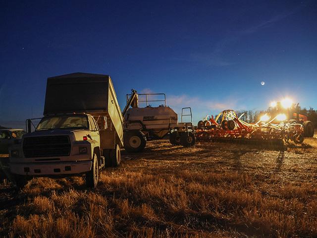
We are at it again in terms of heavy rain causing issues during springtime. For yet another season, a late-spring heavy precipitation event has caused crop damage. Precipitation totals ranged from 3 to 8 inches of rain in the Midwest, with heaviest totals south of Interstate 70 in Missouri and Illinois. Some reports had over 10 inches of rain. Meanwhile, western Plains wheat incurred possibly extensive damage from snowfall ranging from a few inches to more than a foot. Twenty-plus inches of snow were reported in Oakley, Kansas, (northwestern Kansas).
This heavy precipitation and storm event is not a one-off feature during central U.S. springs. In the past 10 years, only 2010, 2012 and 2016 had mostly dry and favorable seasons during spring. In 2011, we saw heavy rain in both the eastern and Western Corn Belts along with the Northern Plains. The Western Corn Belt and Northern Plains rain, of course, led to season-long flooding in the Missouri River Valley. In 2013, Iowa and Minnesota, along with the Dakotas, got pounded with rain that forced either late planting or replanting of crops into the month of June. Then, 2015 saw tremendous rains in southeastern Texas along with the southern Midwest. Eastern Missouri, southern Illinois and southern Indiana did not get planting finished in some portions until late June-early July, and parts of Missouri went unplanted all season.
Invariably, the question comes up as to the cause for these circumstances. And, there is a strong likelihood that atmospheric re-adjustment due to climate change is related to the framework that allows these tremendous events to develop. In reviewing the extreme rainfall events in the U.S. from 2015, NOAA climate scientists Klaus Wolter, Martin Hoerling, John Escheid, and Linyin Cheng wrote the following:
P[L1] D[0x0] M[300x250] OOP[F] ADUNIT[] T[]
"Not only is the long-term trend of such events upwards, the spatial pattern of 2015 extreme is congruent with trend maps for 1901-2014. Though no formal attribution was done, an interpretation that climate change forcing is likely a major contributor to the upward trend in U.S. extreme daily rainfall events, and thus likely also contributed to its high count in 2015, is consistent with the body of (case study) literature." It's not out of the question for the same scenario to be a part of things in what we just went through in the spring of 2017.
The weather pattern does turn warmer and drier at the end of this week. However, for many areas, it will take at least a week of dry conditions before fieldwork and planting can resume.
Bryce can be reached at bryce.anderson@dtn.com
Follow him on Twitter @BAndersonDTN
(CZ)
© Copyright 2017 DTN/The Progressive Farmer. All rights reserved.
Comments
To comment, please Log In or Join our Community .