

Weatherlink
Spring Brings Severe Weather Concerns
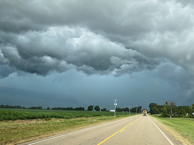
As we move through this spring season, severe storm activity is close at hand in the thoughts of everyone. We have seen many times how severe storms can affect agriculture. And, this spring, even if the Pacific Ocean La Niña event that peaked last winter declines, the atmospheric circulation is still likely to have the patterns associated with La Niña.
Research shows tornadoes and hail are more frequent during springs with La Niña and less frequent with El Niño. This is especially true in the mid- and lower-Mississippi Valley.
To bring more detail to this assessment, my colleagues in our DTN long-range forecast group point out that over the last 15 years, the two most active tornado years were 2011 and 2008. Both were well above average in terms of observed tornadoes. These years included the destructive Joplin, Missouri, storm of May 2011 and the late-April 2011 super outbreak of 362 tornadoes. In May 2008, 460 tornadoes were reported. It's important to note that both 2011 and 2008 were La Niña years.
TORNADO POSSIBILITIES
Features that enhance the tornado possibilities include:
P[L1] D[0x0] M[300x250] OOP[F] ADUNIT[] T[]
> an active frontal boundary between cooler conditions in the northwestern U.S. and a warmer pattern over the eastern U.S.
> a sharp difference between a wetter pattern in the mid-Mississippi Valley northeast and a drier trend in the Central and Southern Plains, which would support a dry line further east than normal
> an active mid-level atmosphere to keep storm systems crossing the central U.S.
> a stronger upper jet stream over the northern U.S. that would support frequent severe-storm formation
> a stronger low-level jet stream from the Gulf of Mexico blowing northward, which can bring a chance of enhanced moisture and instability northward.
HISTORIC EXTREMES
The potential for severe storm activity comes after the National Oceanic and Atmospheric Administration National Centers for Environmental Information reported a historic year of extremes in 2020. The agency notes there were 22 separate billion-dollar weather and climate disasters across the United States. This shatters the previous annual record of 16 events, which occurred in 2011 and 2017.
Adding the 2020 events to the record that began in 1980, the U.S. has sustained 285 weather and climate disasters where the overall damage reached or exceeded $1 billion. (All cost estimates are adjusted based on the Consumer Price Index as of December 2020). The cumulative cost for these 285 events exceeds $1.875 trillion.
**
> Read Bryce's weather blog at about.dtnpf.com/weather.
> You may email Bryce at bryce.anderson@dtn.com, or call 402-399-6419.
[PF_0421]
(c) Copyright 2021 DTN, LLC. All rights reserved.