

Ag Technology by the Numbers
USDA's Big Precision Tech Study Shows High Adoption Rates Among Largest Farms
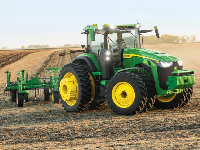
Rollout day for a new tractor used to come with talk of engine size, rated horsepower, torque, power-to-weight ratio and hydraulic capacity. But new technologies -- automation and autonomy, radars, multi-spectral cameras, path planning and geo-fencing -- are climbing to the top of the conversation. Talk of tech is as standard today as is tire size.
Driving home that point, USDA has released a new study about the adoption of technologies by farm operators since the late 1990s. The report, "Precision Agriculture in the Digital Era: Recent Adoption on U.S. Farms," looks at farm-scale adoption of soil maps and yield maps, variable-rate technologies, auto-steer and guidance, drones and satellites over a half-dozen crops (corn, soybean, cotton, winter wheat, rice and sorghum).
The report covers a lot. But it boils down to one word: automation.
"The most-adopted technologies typically have the word 'automated' in their names," Kansas State University precision agriculture economist Terry Griffin said in a news release from Kansas State. "The reason for that is that they tend to make life a little bit easier for the operators than if they didn't have the technology." Twenty-five-year-old auto guidance technology makes life easier for farmers. Perhaps better, operators don't need to understand every nut and bolt of the technology to benefit from it. "Automated guidance is embodied into the technology," Griffin said in the release. "The user is endowed with the ability to use it."
USDA's Precision Agriculture study finds that auto-steer guidance systems were used on only 5.3% of planted corn acres in 2001. By 2016, it was 58%. By 2019, the study finds that for sorghum and cotton, auto-steer was used on 72.9% and 64.5% of planted acres, respectively. By 2019, global positioning satellite (GPS) systems were used on 40% of all U.S. farm and ranch acreage for on-farm production.
Data-collecting technologies -- such as yield mapping and soils mapping -- are important in American agriculture. But you might not say that looking at adoption rates. Less than one-fourth of all planted acres in the U.S. put to work data collected from yield and soil maps.
Where technology hesitation exists among farm managers, age and comfort with technology has much to do with it. But the authors of Precision Agriculture believe that adoption rate of technologies will rise as agriculture experiences its very normal generational shifts.
"Much has already been written on digital divides between operators who are technologically savvy and those who are not. The latter group may increasingly miss opportunities (for digitally facilitated) improvements to farm performance ... However, such divides may somewhat lessen over time as younger generations, increasingly digital natives who are technologically savvy, displace older generations in the agricultural workforce."
P[L1] D[0x0] M[300x250] OOP[F] ADUNIT[] T[]
There is a return to those willing to crunch the numbers. Jonathan McFadden, research economist with USDA's Economic Research Service and lead author on USDA's Precision Ag report, explained it by way of email exchange with DTN/Progressive Farmer. He pointed first to work from David Schimmelpfennig, currently director of advanced analytics at USDA APHIS.
"Using USDA survey data of corn fields in 2010, and after controlling for things like the farmer's years of farming experience, location, and farm size (among other things), David found that users of yield/soil maps had 1.8% higher net returns, on average," McFadden explained. "Using very similar data (USDA survey data of corn fields in 2010 and 2016) and controls, I found that users of yield/soil maps were more efficient and more productive than nonusers. Here, 'efficiency' is measured as total bushels of corn per total inputs used."
Find Schimmelpfennig's 2016 report, Farm Profits and Adoption of Precision Agriculture here: https://www.ers.usda.gov/….
Other key findings in the report include:
-- Adoption rates vary. At least one-half of relatively large row-crop farms rely on various technologies, while less than 25% of smaller farms use any of the top four technologies: auto-steer/GPS, soil and yield maps, and variable-rate technologies (VRT).
-- By the numbers. Seven percent of farms with total cropland less than 200 acres had an operator who adopted yield maps. But 50% of corn farms with total cropland greater than 1,725 acres had an operator who adopted yield maps. "Non-adoption (of technology) tends to be correlated with smaller farm sizes, lower crop yields, less use of crop management recommendations, and limited employment of technical or consultant services ...," the authors wrote.
-- Auto-steer boom. Auto-steer guidance systems were used on 5.3% of planted corn acreage in 2001. By 2016, use of auto-steer grew to 58%. The adoption rate was even higher for planted acres of sorghum (72.9%) and cotton (64.5%).
-- Most adapted No. 1. On the largest farms, the adoption rate for guidance technologies was 73% for corn in 2016, 82% for winter wheat in 2017, 68% for soybeans in 2018, and 67% for cotton in 2019.
-- Most adapted No. 2. The largest operations may be adapting to technology quicker because they have a reduced aversion to risk, a greater need to manage production across a wider variety of environments and better access to credit to purchase technology. And one more: Large operations tend to have technological talent baked into the operation, by way of more managers and employees familiar with the latest and greatest.
-- Bottom line. Farmers using yield maps and/or soil maps are more efficient than non-adopters.
-- Data is king. Data collected on an operator's farm -- as opposed to data collected from public sources -- tends to inform the operation's management practices. Sixty-three percent of the corn acreage managed by VRT had operators who used crop management recommendations based on data collected from their own fields.
-- The VRT story. A great percentage of large farms have adopted VRT than small farms. VRT adoption rates stood at 37.4% on corn-planted acres in 2016 and 25.3% on soybeans acres in 2018.
-- Over the horizon. GPS In 2013 and 2019, roughly 12% of all U.S. farms (representing 37% and 40% of total farm/ranch acreage, respectively) made use of GPS for on-farm management. Use rates were above 50% in the Corn Belt, but less than 10% among Eastern states, such as Massachusetts, New Hampshire and West Virginia. These differences reflect geographic variation in the quality of satellite signal reception, the types of crops grown, and the expected net returns to GNSS applications, the authors believe.
-- Drones are in the news, but not necessarily over farmers' fields. While the numbers are several years old -- and include a compilation of drone, aircraft and satellite uses -- the USDA study finds aerial crop management is limited. Among corn acres planted, 7% employed aerial systems in some management form in 2016; soybeans, 9.8% (2018); winter wheat, 3.5% (2017); cotton, 2.8% (2019); and sorghum, 4.6% (2019).
Find the full USDA report "Precision Agriculture in the Digital Era: Recent Adoption on U.S. Farms" here: www.ers.usda.gov/publications/pub-details/?pubid=105893.
Dan Miller can be reached at dan.miller@dtn.com
Follow him on Twitter @DMillerPF
(c) Copyright 2023 DTN, LLC. All rights reserved.